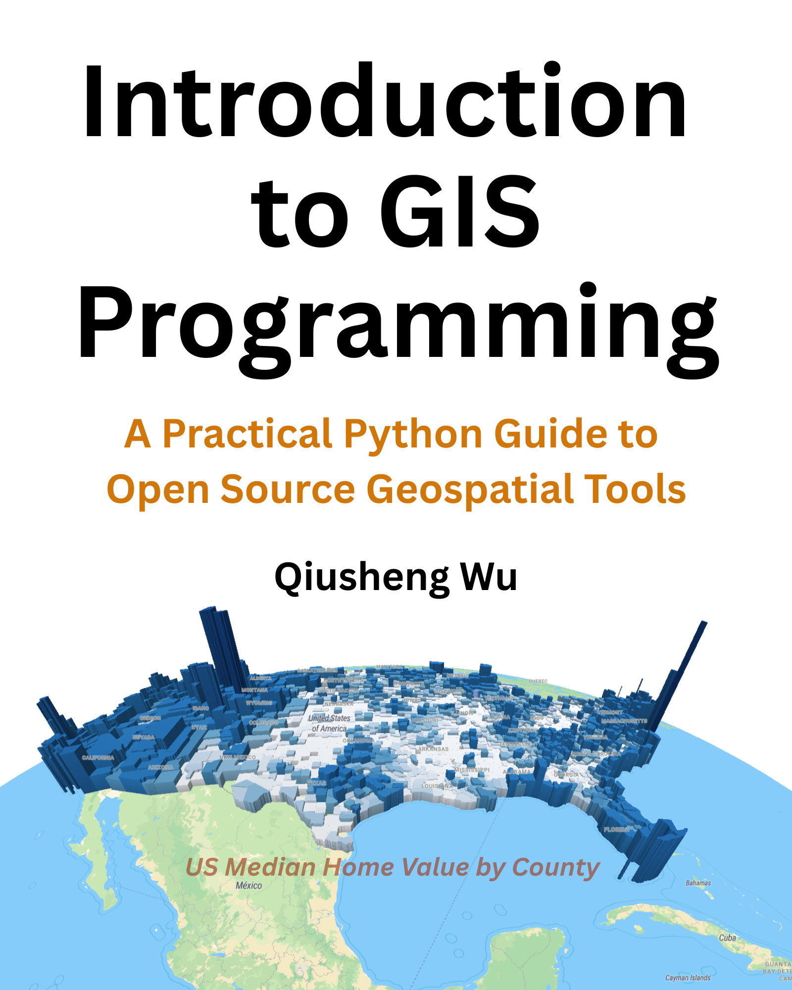
This repository contains the code examples for the book - Introduction to GIS Programming: A Practical Python Guide to Open Source Geospatial Tools
Stay tuned for more information about the book and its release date.
- Preface
- Software Setup
- Overview of Software Tools
- Introduction to Python Package Management
- Setting Up Visual Studio Code
- Version Control with Git
- Using Google Colab
- Working with JupyterLab
- Using Docker
- Python Programming Fundamentals
- Variables and Data Types
- Python Data Structures
- String Operations
- Loops and Conditional Statements
- Functions and Classes
- Working with Files
- Data Analysis with NumPy and Pandas
- Geospatial Programming with Python
- Introduction to Geospatial Python
- Vector Data Analysis with GeoPandas
- Working with Raster Data using Rasterio
- Multi-dimensional Data with Xarray
- Raster Analysis with Rioxarray
- Interactive Visualization with Leafmap
- Geoprocessing with WhiteboxTools
- 3D Mapping with MapLibre
- Cloud Computing with Geemap
- Hyperspectral Data Visualization with HyperCoast
- Spatial Database Analysis with DuckDB
- GDAL and OGR
- Building Interactive Web Apps with Voila and Solara
The code examples can be run using Docker.
docker run -it -p 8888:8888 -v $(pwd):/app/workspace giswqs/gispro:latestThis book was written using MyST Markdown and compiled using Typst with the min-book template. Credits to developers and maintainers of the Typst and MyST Markdown projects. Special thanks to @mayconfmelo for the min-book template and their help with customizing the template for this book.
